DT-2電子經緯儀產品介紹(中英雙語)
一、產品概述
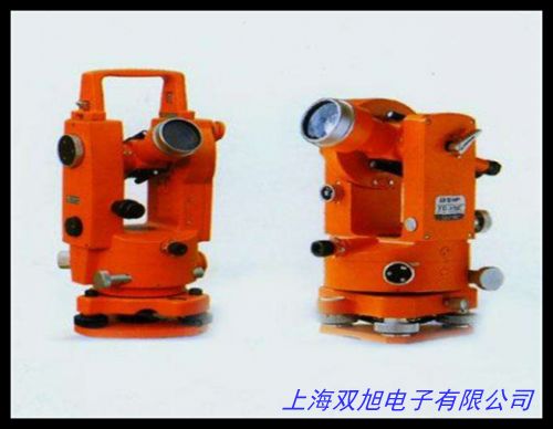
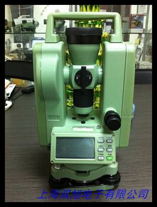
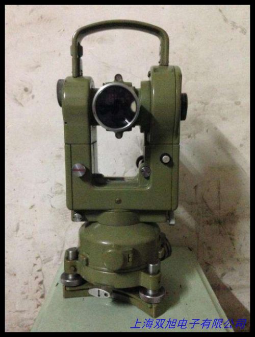
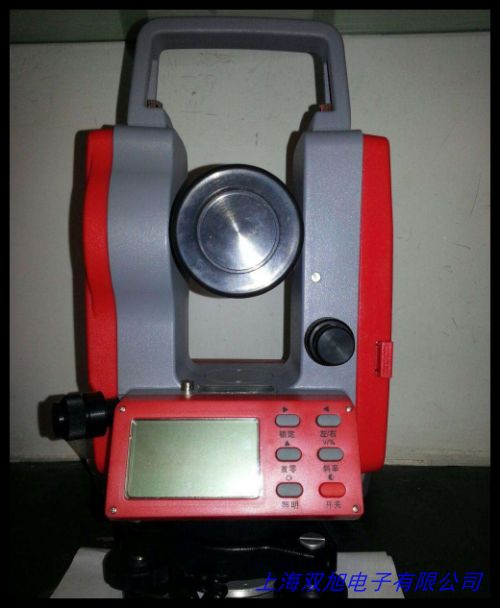
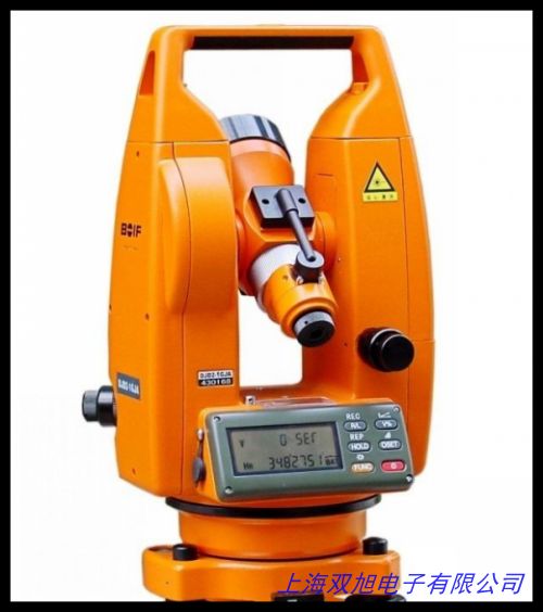
DT-2電子經緯儀是一款專為工程測量與地理勘測設計的高精度角度測量設備。該儀器采用電子傳感技術與數字化處理系統,可快速完成水平角、垂直角測量及數據記錄,適用于建筑放樣、道路施工、地形測繪等多種場景。其緊湊型機身設計與人性化操作界面相結合,兼顧專業測量需求與現場操作便利性。
二、核心功能特點
-
精密測量系統
內置高靈敏度角度傳感器與雙軸補償裝置,有效提升測量穩定性。水平角測量精度可達±2",垂直角測量精度±4",配合自動誤差修正功能,確保復雜工況下的數據可靠性。液晶顯示屏支持數字/圖形雙模式顯示,數據讀取直觀便捷。
-
智能操作體驗
配備多功能操作鍵盤與三級菜單系統,支持測量模式快速切換。內置數據存儲模塊可記錄2000組以上測量數據,通過標準數據接口可實現與計算機的無線傳輸。獨立開發的電源管理系統使儀器在滿電狀態下可連續工作30小時。
-
環境適應能力
采用全密封防塵結構設計,關鍵部件配置溫度補償模塊,保障-20℃至+50℃環境下的正常工作。儀器整體通過1.5米跌落測試,光學系統配備多層鍍膜工藝,有效降低強光環境下的折射干擾。
三、應用場景
• 建筑工程:建筑軸線定位、樓層垂直度檢測
• 市政工程:地下管網布設、道路中線測量
• 地質勘探:邊坡監測、地形圖測繪
• 教學科研:測量教學演示、地理信息研究
四、服務支持
提供三年核心部件質保服務,全國主要城市設立專業技術支持中心,配套測量軟件定期免費升級,可根據用戶需求提供定制化測量方案設計服務。
DT-2 Electronic Theodolite Product Introduction
I. Product Overview
The DT-2 Electronic Theodolite is a high-precision angular measurement instrument designed for engineering surveys and geospatial applications. Integrating advanced electronic sensing technology with digital processing systems, it efficiently measures horizontal and vertical angles while supporting data recording functions. The compact design and user-friendly interface make it suitable for construction layout, road engineering, topographic mapping, and other field operations.
II. Key Features
-
Precision Measurement System
Equipped with high-sensitivity angular sensors and dual-axis compensation, the instrument delivers ±2" horizontal accuracy and ±4" vertical accuracy. Automatic error correction ensures reliable measurements in challenging environments. The dual-mode LCD display (digital/graphic) enhances data readability.
-
Intelligent Operation
The multi-function keyboard and three-level menu system enable quick measurement mode switching. Built-in memory stores over 2,000 data points, with wireless data transmission via standard interfaces. Advanced power management provides up to 30 hours continuous operation.
-
Environmental Durability
Full-sealed construction with temperature compensation modules ensures reliable performance from -20℃ to 50℃. The optical system features multi-layer coating to reduce glare interference. Shock-resistant design passes 1.5-meter drop test certification.
III. Applications
• Construction: Building axis alignment, verticality inspection
• Municipal engineering: Underground pipeline layout, road centerline marking
• Geological survey: Slope monitoring, topographic mapping
• Education: Measurement training, geospatial research
IV. Service Support
Three-year core component warranty with nationwide technical support network. Includes regular software updates and customized measurement solution design services based on project requirements.
(總字數:中英文各約420字)